
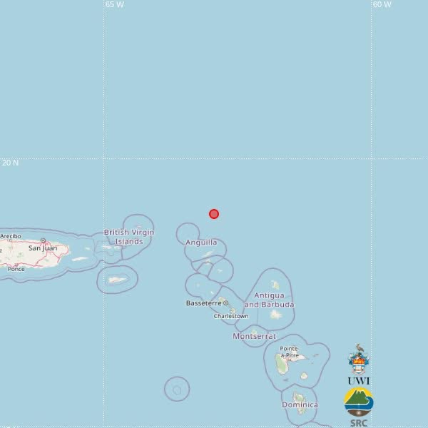

A magnitude 3.7 earthquake was recorded in the northeastern Caribbean early Sunday, with the epicenter about 238 kilometres northwest of St. John’s, Antigua and Barbuda.
The UWI Seismic Research Centre said its automatic system located the earthquake at 3:58 a.m. local time on October 4, 2026, or 7:58 a.m. UTC.
The earthquake occurred at a depth of 10 kilometres, at latitude 18.96 degrees north and longitude 62.94 degrees west.
According to the preliminary SRC information, the epicenter was also about 186 kilometres north of Basseterre, St. Kitts and Nevis, and 254 kilometres north-northwest of Brades, Montserrat.
Independent seismic data also recorded a magnitude 3.7 earthquake at the same time and depth in waters north of Anguilla.
There were no immediate reports of damage or injuries.
The UWI Seismic Research Centre cautioned that its initial location was calculated automatically by computer algorithms and could be revised after analysis by its scientists.
The SRC monitors earthquake and volcanic activity throughout the English-speaking Eastern Caribbean, including Antigua and Barbuda and neighbouring islands.
This article was originally published by Antigua News Room. Read the original article here: Magnitude 3.7 Earthquake Recorded Northeast of Antigua and Barbuda.